Airborne Electromagnetic Surveys (AEM)
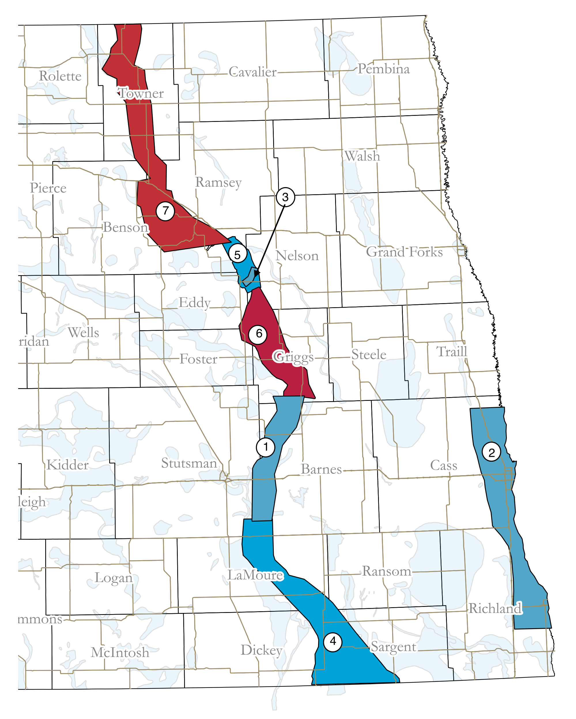
Airborne Electromagnetic Surveys (AEM) have been conducted in several areas in the state. These surveys provide high resolution maps of aquifers that help water managers identify and optimize local sources of available groundwater.
AEM implements a helicopter that tows an antenna about 100 feet above the ground, which sends and receives electromagnetic signals to characterize the geology beneath the surface. Geophysical data is collected by the helicopter that flies in a grid pattern. The data identifies the deepest and most transmissive part of the aquifer and determines the geometry of the glacial environment – including depth and extent of the aquifers.
AEM Projects & Reports
Past AEM Projects & Reports
Past AEM Results Via MapService
The results of the AEM surveys conducted in North Dakota are available via the agency’s MapService. Or click on a project below to display the survey area. Additional data layers are available under the Airborne Electromagnetic Survey layer.
Project 1 – Spiritwood - JT
Project 2 – Warwick/Tolna
Project 3 – Wahpeton Buried Valley
Project 4 – Spiritwood South
Project 5 – Tolna
Data Available For Download
Project 1 - Google KMZ, Maps, Cross Sections
Project 2 - Google KMZ, Maps, Cross Sections
Project 3 - Google KMZ, Maps, Cross Sections (Geotech), Cross Sections (AGF)
Project 4 - Google KMZ (ZIP File), Maps (Geotech), Maps (AGF), Cross Sections (AGF)
Project 5 - Google KMZ (ZIP File), Maps (Geotech), Maps (AGF), Cross Sections (Geotech), Cross Sections (AGF)
Project 6 (Area 1 - Central Dakota) - Google KMZ (ZIP File), Maps, Cross Sections
Project 6 (Area 2 - Sheyenne Delta, Milnor Channel, Hankinson & Brightwood) - Google KMZ (ZIP File), Maps, Cross Sections
Information
For more information on Airborne Electromagnetic Surveys, please contact the Appropriation Division at (701) 328-2754 or by e-mail.


